
Accurate Map Conversion, Built to Your Standards
Turning scanned maps, survey sheets, and legacy drawings into clean, georeferenced digital files your team can work with.



What is Map Transformation?
Map transformation is the work of taking a map from paper, PDF or an old raster file and rebuilding it as layered digital data in the right coordinate system. Boundaries, contours, roads and utilities become editable lines, and every point lands where it actually sits on the ground. A map that is off by a few metres at the site boundary can throw out every drawing that follows.
BIM Proficient rebuilds your maps on true coordinates, checks them against known control points and delivers files ready for CAD, GIS or your building model.
Hire BIM Map Conversion Services for Site and Survey Data
Pick one map or a full archive. Every file is rebuilt to your layers, units and coordinate system.
Raster to Vector Map Conversion Services
Scanned maps, survey sheets and old blueprints turned into clean vector layers for boundaries, contours and utilities.
Map Projection Conversion
Maps moved between coordinate systems and projections, including distance conversions between metric, imperial and survey units.
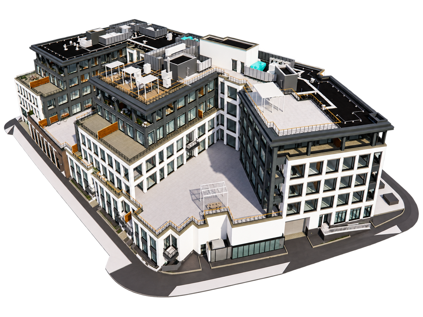
BIM Map Conversion Services for Site Models
Site and survey data placed into your Revit or BIM model at the correct scale, elevation and shared coordinates.
How Our Map Projection Conversion Workflow Runs
Six steps, the same on every job, so a scanned map ends up as a layer you can trust.
Project Discovery
We review the source maps, the coordinate system you need and the delivery format before any work starts.
Georeferencing Setup
Layers, control points and drafting standards are set before the first line is traced.
Map Rebuilding
Boundaries, contours, roads and annotations are rebuilt to match the source, not just traced over it.
Survey Cross-Check
The converted map is checked against survey or site references so discrepancies surface early.
Quality Control
Every file is verified for scale, projection and labels against the source.
Final Delivery
Files arrive as DWG, SHP or KML, with a named contact for follow-up changes.
Why Firms Choose BIM Proficient for Map Conversion Services
A map that never quite lines up causes more field questions than any other drawing on a project.

Correct Coordinates
Every point lands on true coordinates, so site plans and surveys agree from the start.

Consistent Units
Distance conversions are handled in the same pass, so units never get mixed up later.

One Shared Map
Engineers, architects and contractors all work from the same converted map.

Honest Flags
If a source map is too poor to convert reliably, we tell you before delivering guesswork.

Double-Checked Files
Files are checked twice, once against the source and once against your standards.

Usable First Time
Firms come back because the maps work the first time, not after three rounds of fixes.
BIM Services Across Every Building Type
Sector experience matters. A hospital ceiling void packed with medical gas lines and a warehouse roof with long sprinkler runs are very different problems, so we assign coordinators by building type.


Featured Map Conversion Projects
Explore a selection of our recent conversion projects showcasing accuracy, innovation, and value across diverse industries.
No projects found for this service.
Have Questions? We've Got Answers
Find quick answers to the most common questions about our BIM services, project process, and collaboration.
Shifting a map from its original coordinate system or projection into the one your project needs, then checking it against known reference points.
Yes. We convert between metric, imperial, and survey units as part of the same conversion pass, so nothing gets mismatched later.
It is moving map data from one projection or coordinate system to another so it lines up with the rest of your project data.
Yes. Our BIM map conversion services place site and survey data into your model on shared coordinates.
DWG, SHP and KML are the most common, matched to the software your team uses.
We review it first and tell you honestly what can be recovered before quoting.
Single maps can come back within a few days. Large archives depend on volume, and we agree on the timeline before starting.
Ready to Add a BIM Team to Your Next Project?
Send us your drawings, scans or scope. You will get a fixed estimate, a delivery timeline and a named point of contact within 24 hours. Our BIM outsourcing services start at single-project engagements - no retainer or long-term commitment required.
Get a Free Quote
Trusted by AEC Firms Worldwide
Architects, engineers, contractors and developers across the US, UK, Canada, Australia and the Middle East rely on BIM Proficient to deliver accurate, coordinated models on schedule.